802dated entries
1,631indexed documents
6languages
223rights-cleared images
15/15
Core thesis
Anneville is used as a lens through which the long constitutional, social and cultural history of Guernsey becomes visible.
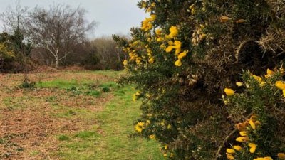
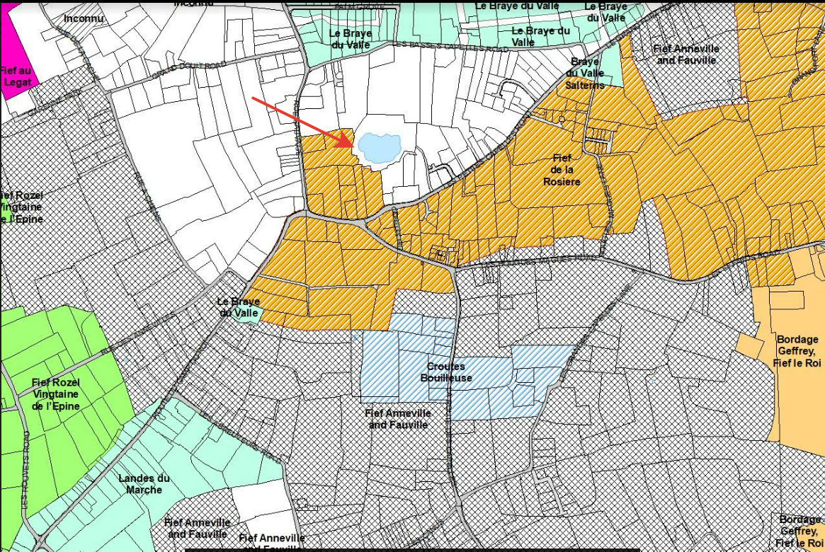
Five ways of knowing Anneville
Evidencecharters, conveyances, court records
Territoryfief maps, Cadastre, Manor plans
Daily lifejournals, recipes, household records
Memorypress, restoration and public reception
FictionParkinson’s Delancey novels
Documents, maps and private voices
Each thumbnail opens the complete source or the highest-resolution object available to the project.
 de La Chesnaye des Bois - Anneville genealogydocument1770s edition · Open original
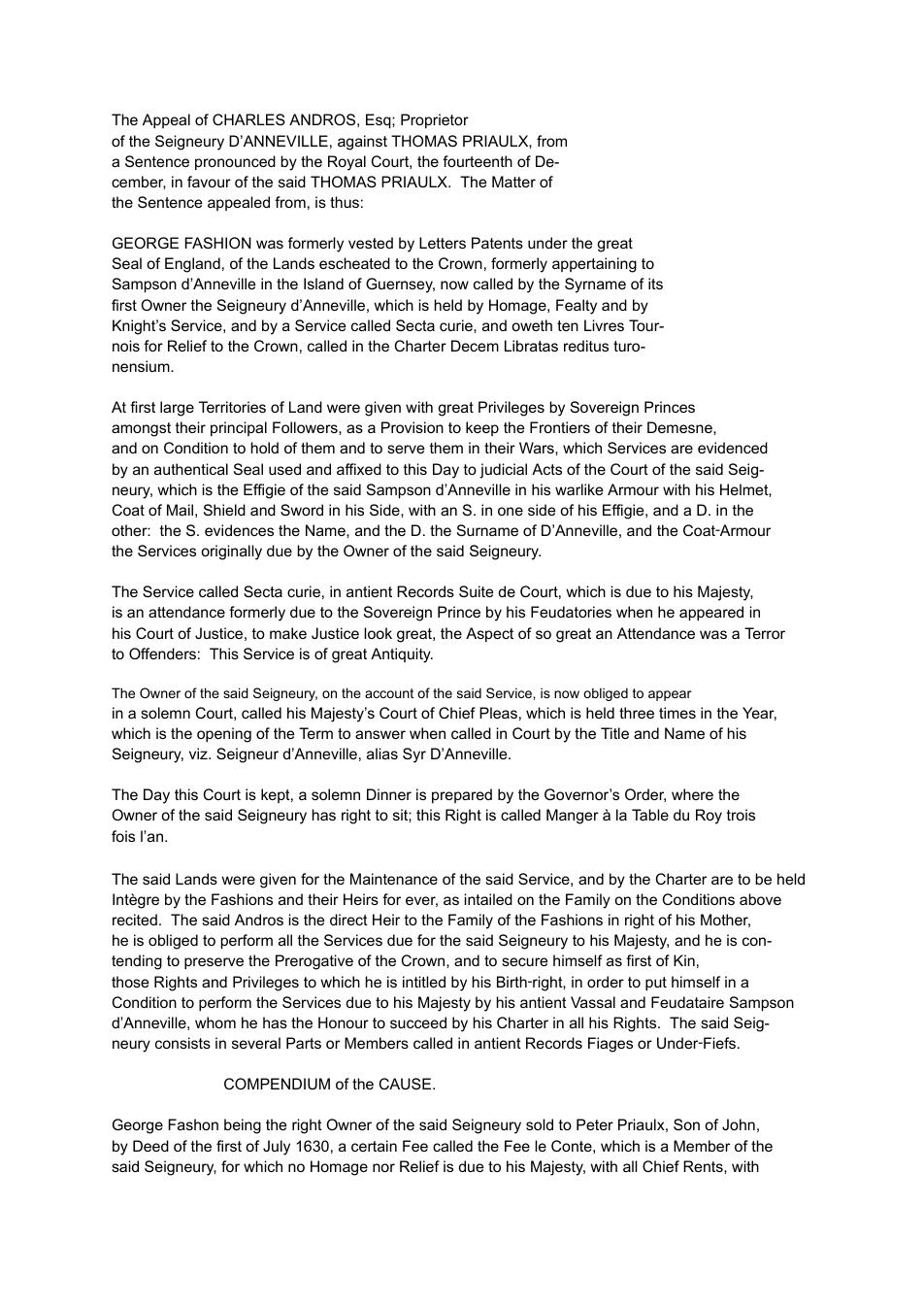 First Andros Appeal - archive copydocument1714 · Open original
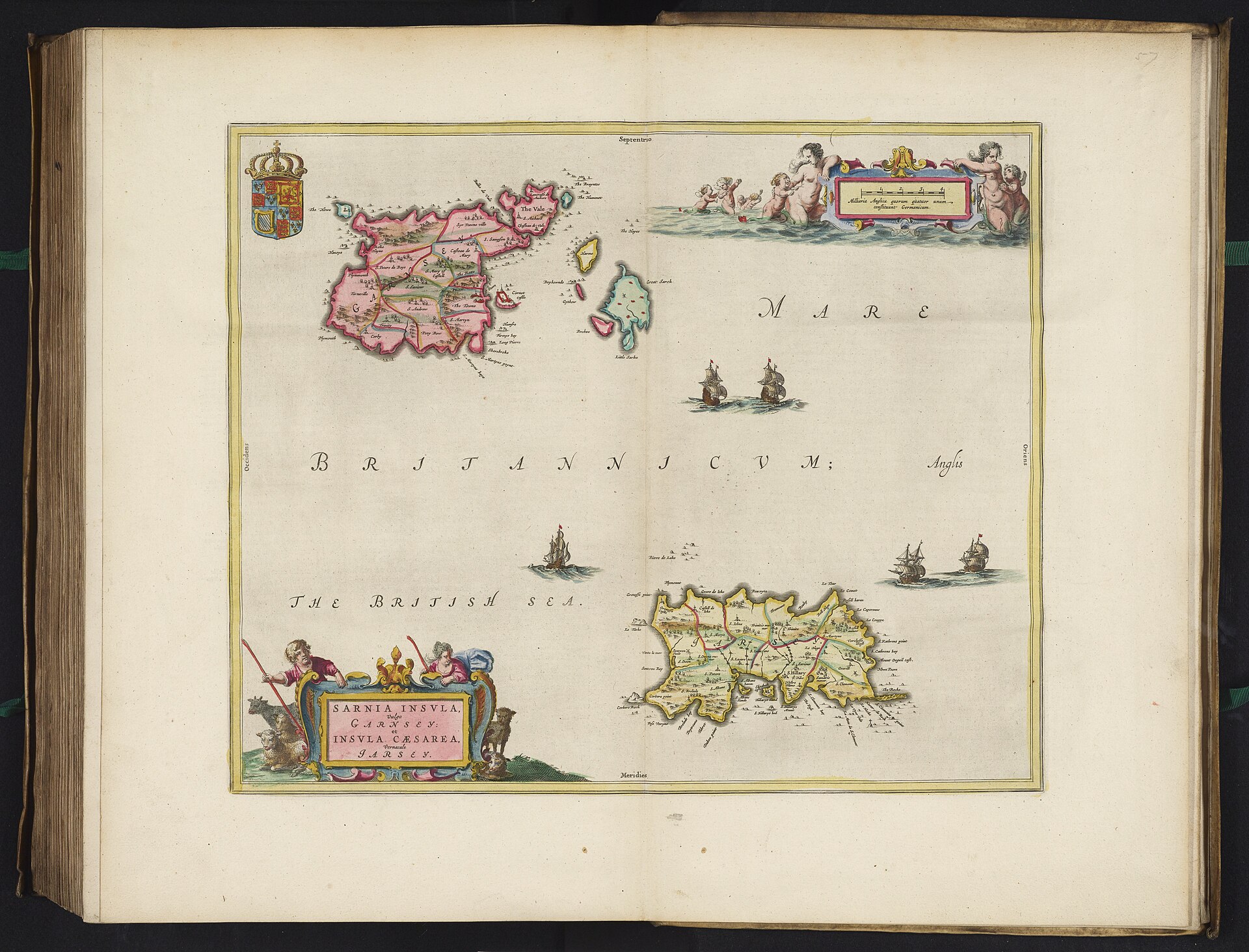
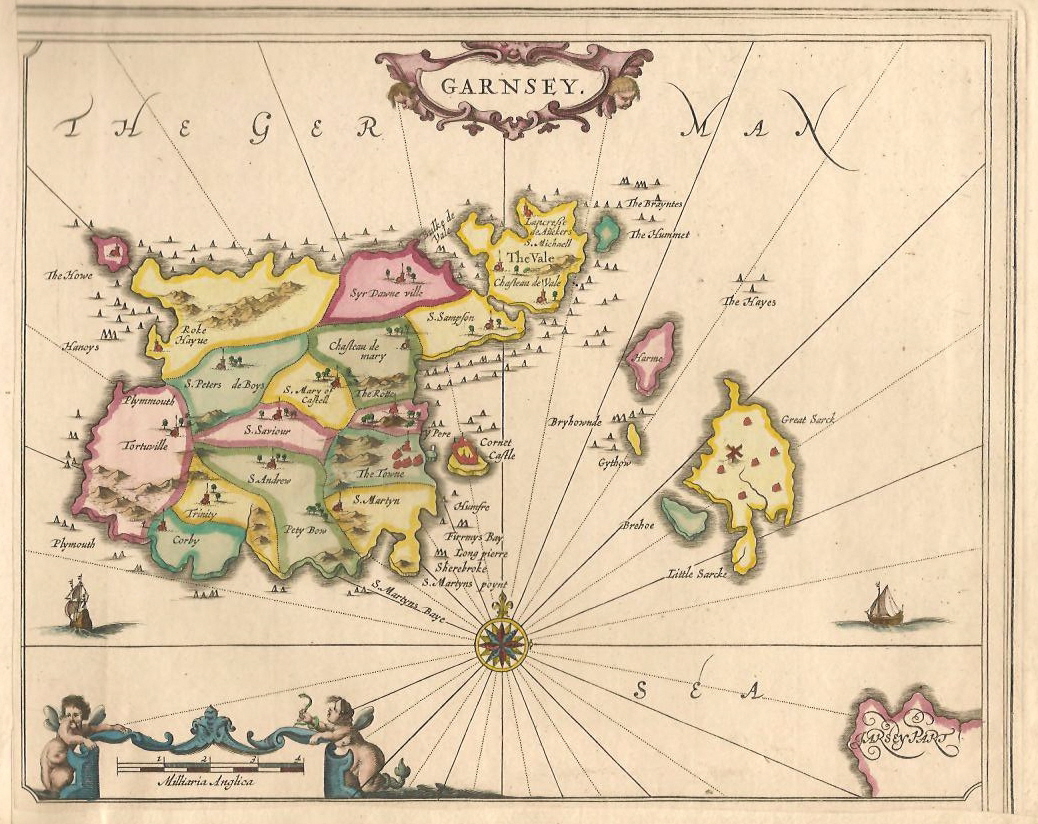
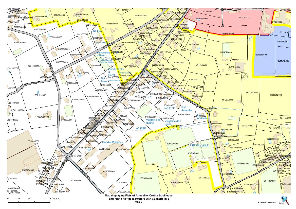 Map of the fiefs of GuernseyterritoryCadastre compilation · Open original
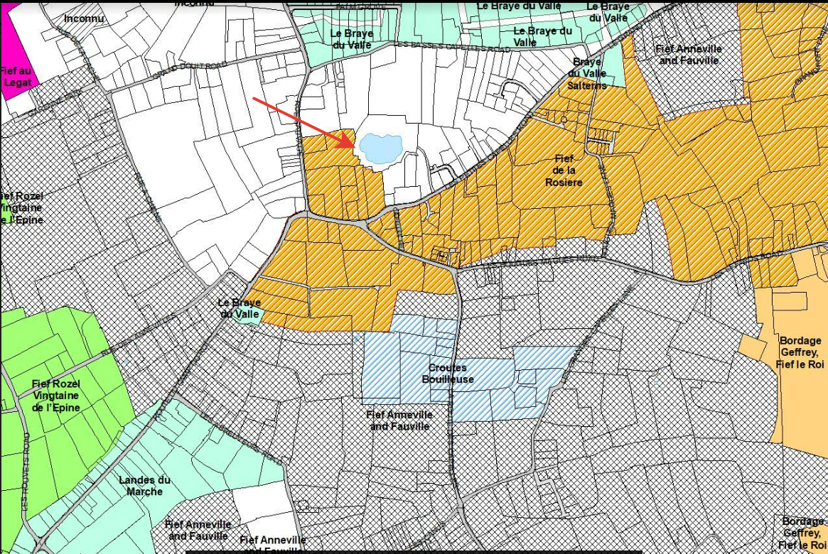 Anneville cadastral mapterritorymodern Cadastre · Open original
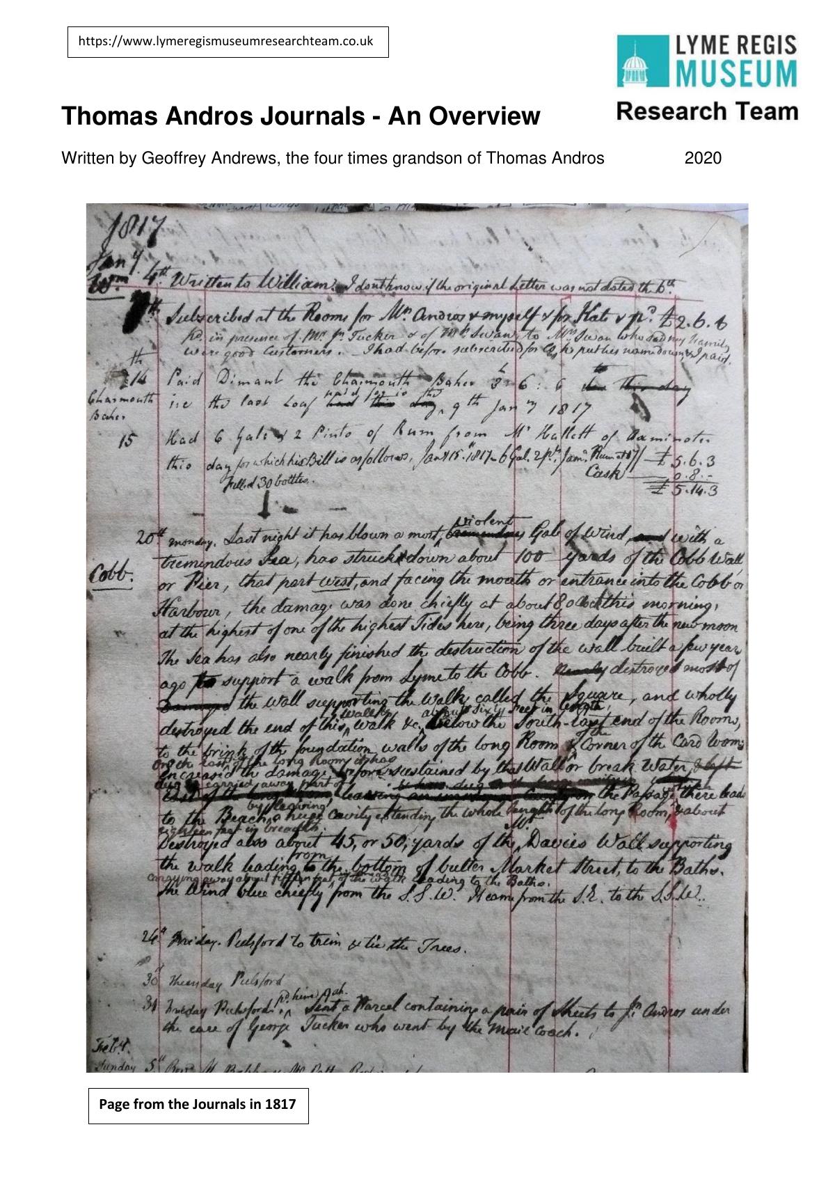 Thomas Andros journals: the Lyme Regis yearsprivate-life1788–1831 / research overview 2020 · Open original
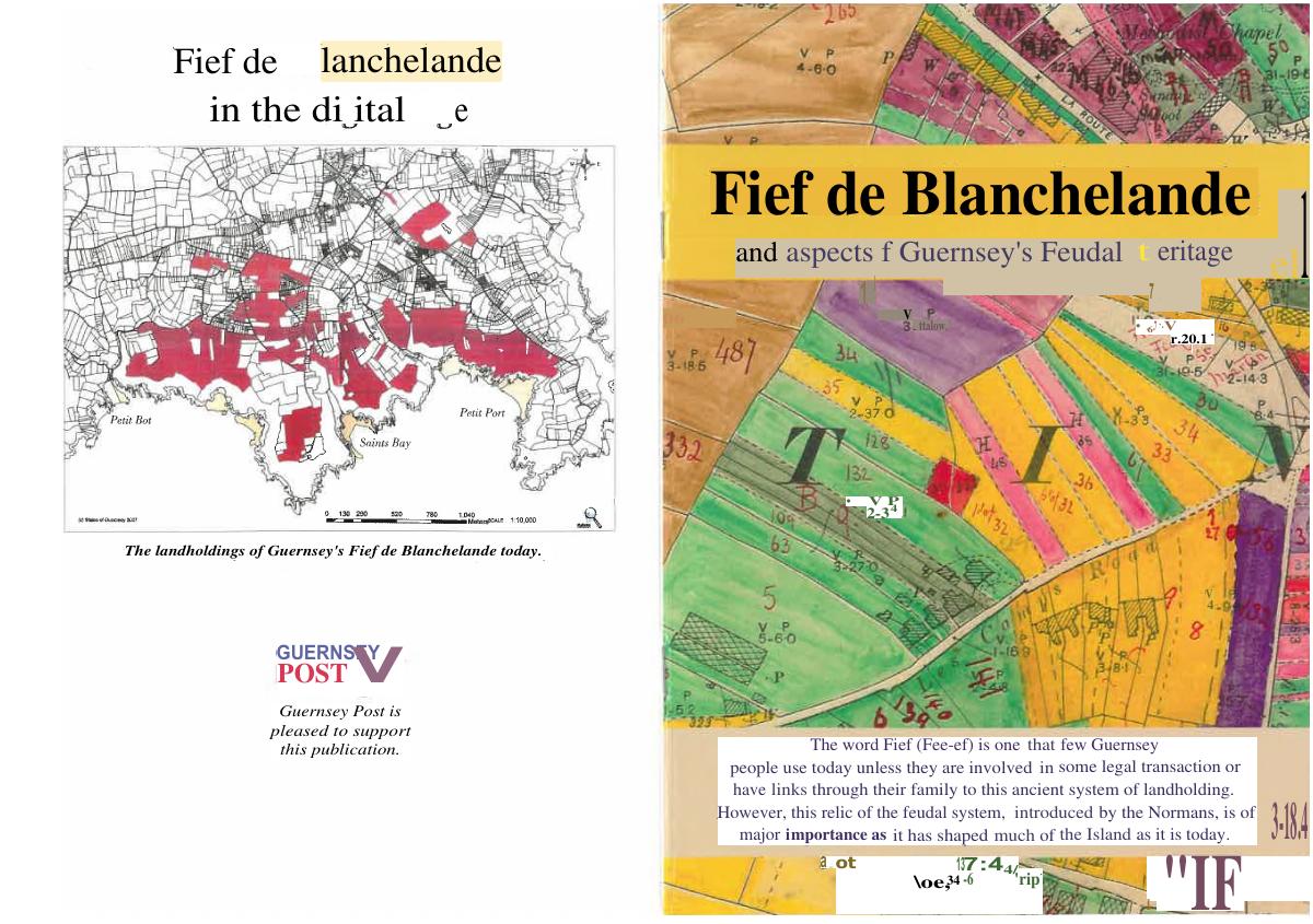 Fief de Blanchelande: comparative living-fief studycomparative2012 publication · Open original